
topograph.app
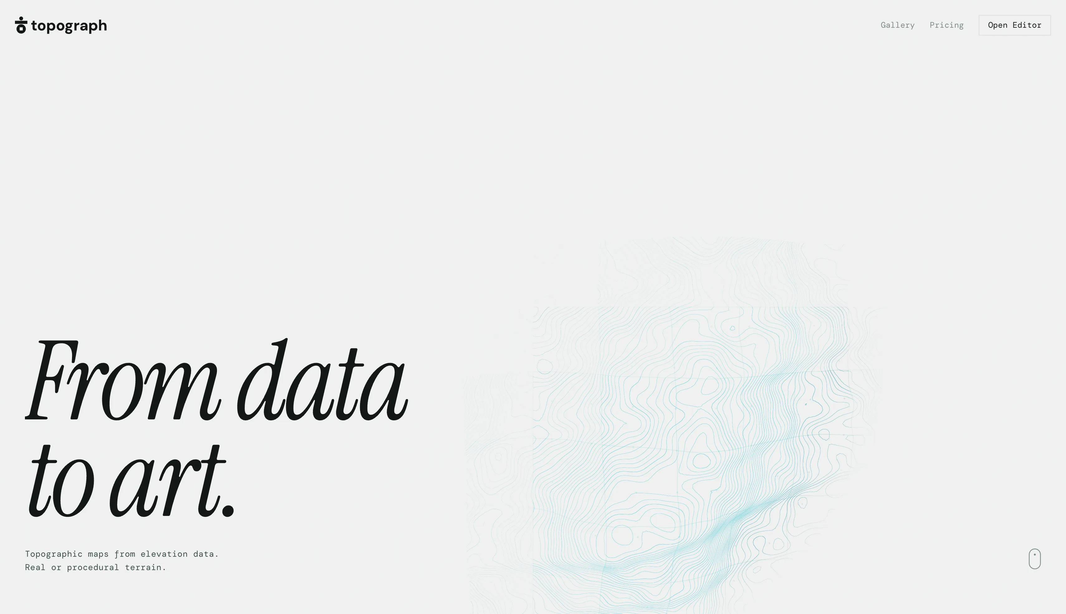
topograph - Topographic maps from elevation data
Create topographic contour maps from real elevation data or procedural terrain. Preview in 3D with 20 shader styles. Export SVG, PNG, TIFF, PDF, DXF, GeoJSON, Heightmap, STL up to 600 DPI.
Related Tools


Rendera is a free AI-powered tool for landscape, interior, and exterior design. Instantly generate room layouts, home plans, and garden designs with zero experience needed.

Access 6000+ premium 3D assets for Cinema 4D, Blender, Houdini & Unreal Engine. Materials, models, textures, HDRIs & award-winning C4D plugins.
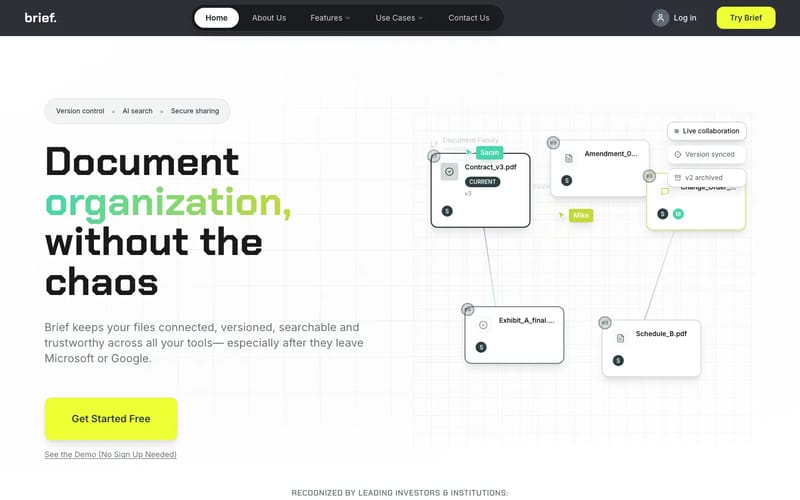

More than Dropbox for contracts. Simpler than Ironclad. AI organizes agreements, permits, and scopes—tracking versions, relationships, and approvals.


SupaRes is a blazingly fast engine for automatic AI image enhancement. We will flawlessly upscale, restore, denoise, fix, and optimize your images.
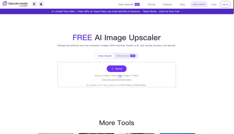

Upscale images to 2x or 4x without losing textures or details with our AI tool. The best AI image upscaler for stunning visuals. Try Upscale.media now!


Speed up product development from ideation to launch. Align teams, break tool silos, and ship what customers need in one AI-powered visual platform.